
DRONE SURVEYS & PHOTOGRAPHY
Drone Surveys
Drone Surveys & Photography -
Drone Surveys & Photography -

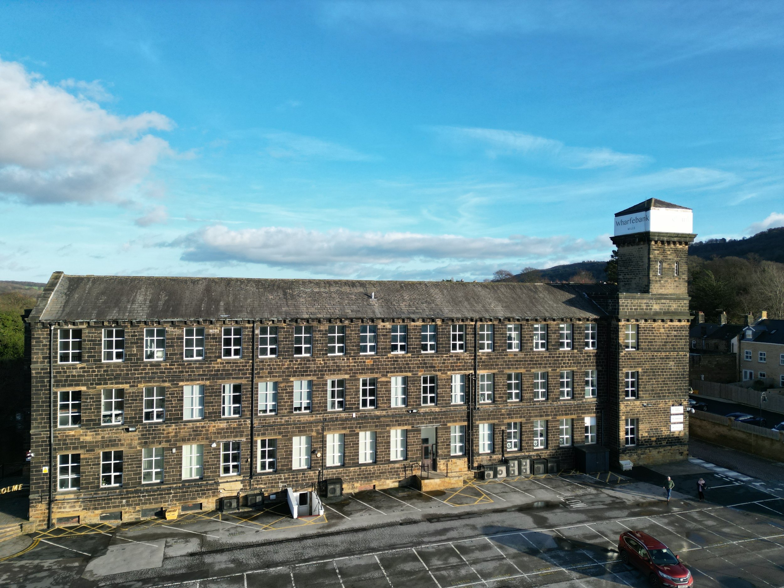
Drone surveys, also known as aerial surveys or UAV surveys, are a modern and efficient method of gathering geospatial data and conducting inspections from the air. Our drones are equipped with sophisticated sensors and cameras to capture high-resolution images and videos.
Drone surveys have become increasingly popular across various industries due to their versatility, cost-effectiveness, and ability to access hard-to-reach or hazardous locations.
OUR PACKAGES
-
Drone Surveys
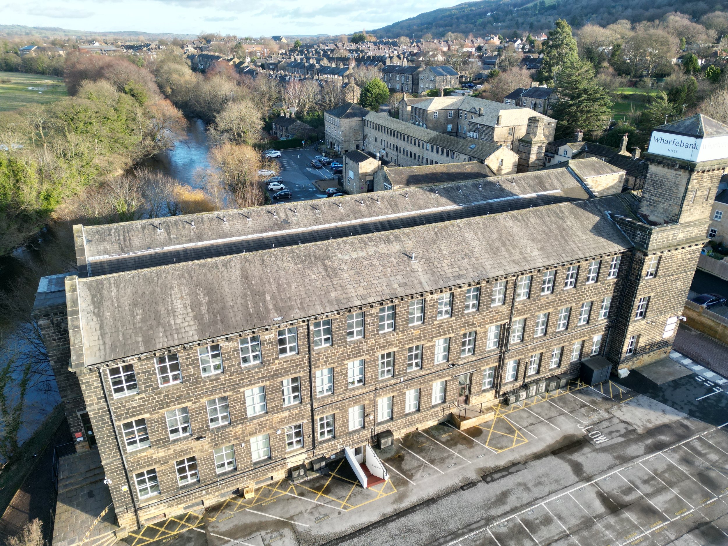
Our drone surveys are specifically designed to locate and identify roofing and property issues. This service is a cost-effective way to view hazardous and hard to reach places and eliminates the expensive need for scaffolding.
-

Drone Photography
Our drone photography packages are are fantastic way to see any building or landscape from an aerial viewpoint. This service can be provided individually or as an addition to other site photography packages.
Advantages of Drone Photography -
-
Drones can capture images and videos from elevated positions, providing a unique aerial perspective that was previously only accessible through expensive methods like helicopters or airplanes. This vantage point allows for better visualization of landscapes, infrastructure, and large areas.
-
Compared to traditional aerial photography methods, such as hiring a plane or helicopter, using drones is much more cost-effective. Drones are relatively affordable to purchase and operate, reducing the overall expenses of aerial data collection.
-
Drones can access areas that are challenging or dangerous for humans to reach, such as tall structures, remote locations, or disaster-stricken sites. Their small size and maneuverability enable them to navigate tight spaces and capture data from various angles.
-
Drones have revolutionized real estate photography and marketing by offering stunning aerial views of properties, which can attract potential buyers and showcase properties in a more compelling way.
-
Drones can be deployed in hazardous or unsafe environments, reducing the risk to human operators and providing a safer alternative for inspections and data collection in dangerous locations.